17 February 105 miles (total: 555 miles) 8°C 6:30am
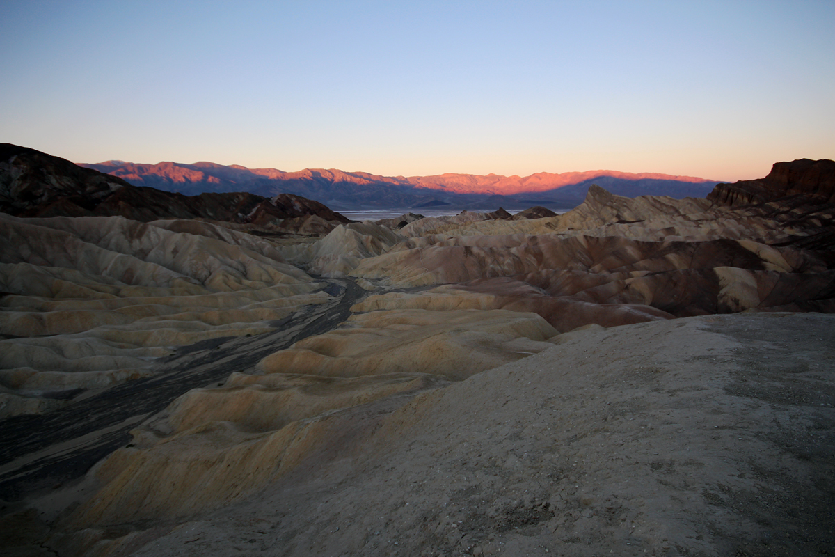
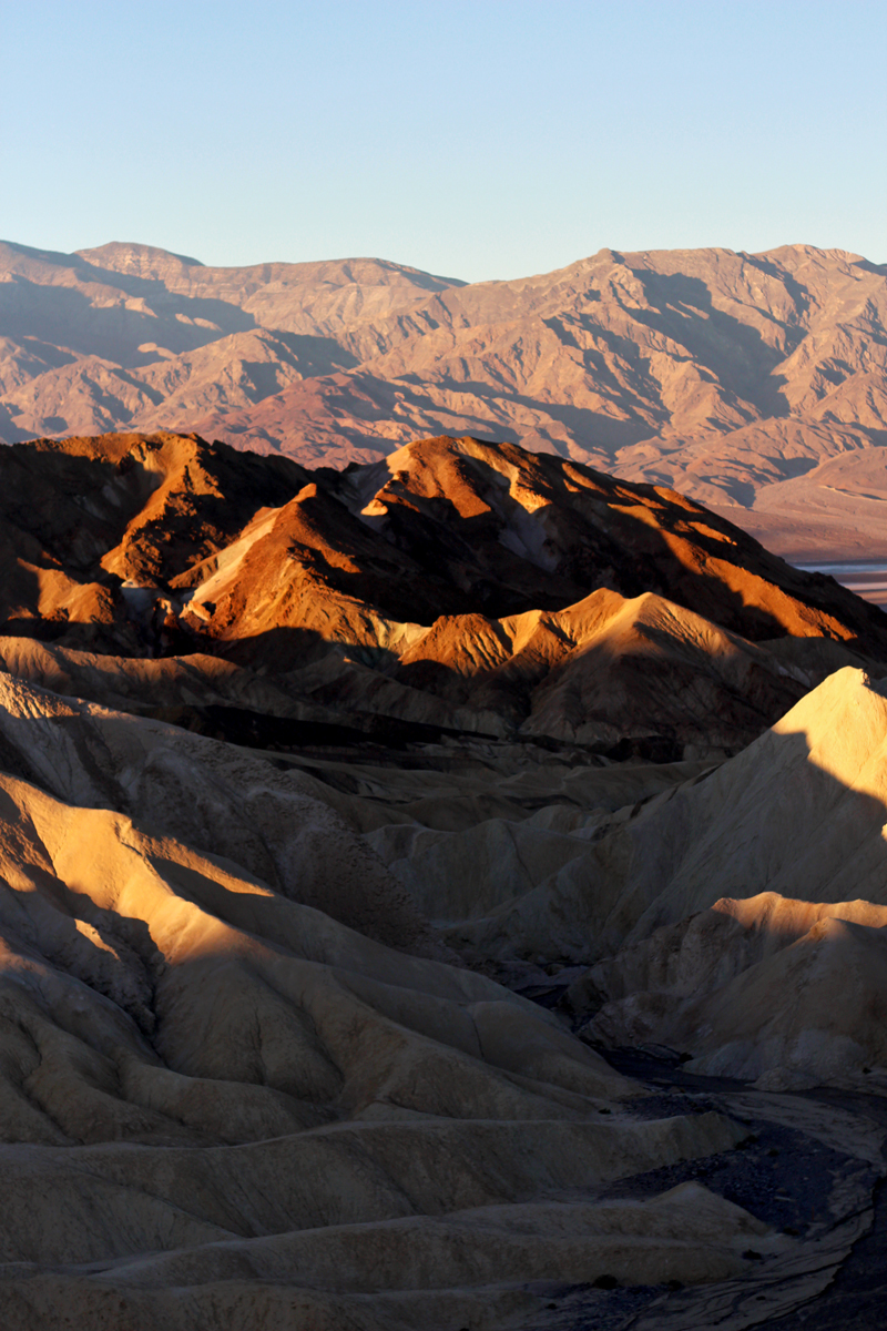
Zabriskie Point
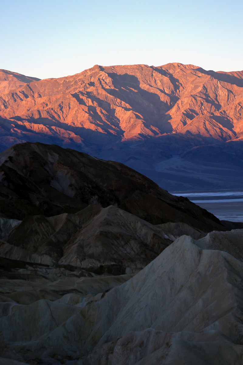
Creeping sun
Creeping sun
Super early morning, rushed out to catch the sunrise at the Zabriskie Point – we were by no means the only ones with this idea but it was still a very nice experience.

Gina at Zabriskie Point
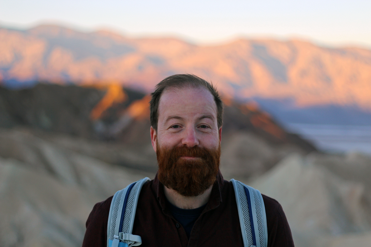
Iest at Zabriskie Point
Afterwards we headed back to Furnace and managed to snatch an early spot in a beautiful tent-only camp (Texas Spring) from someone who’s just left. There was a lot of competition, that’s for sure. Amazing views. After breakfast it was still nice and early morning and we headed to the Golden Canyon for a nice hike before it got too hot. We chose a nice walk to the Red Cathedral combined with the Gower Gulch loop, and it got us to some pretty magnificent viewpoints. Not many people around either.
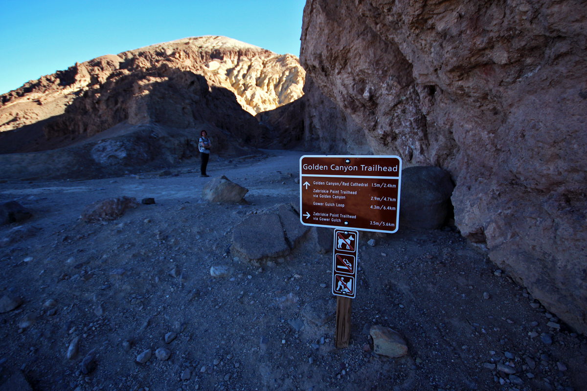
Golden Loop trailhead
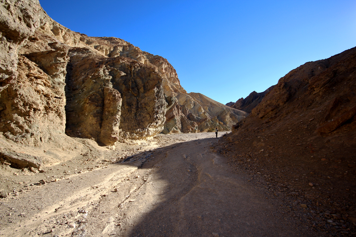
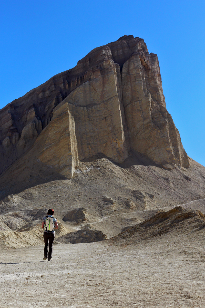
Hiking through the canyons

Iest & his hat
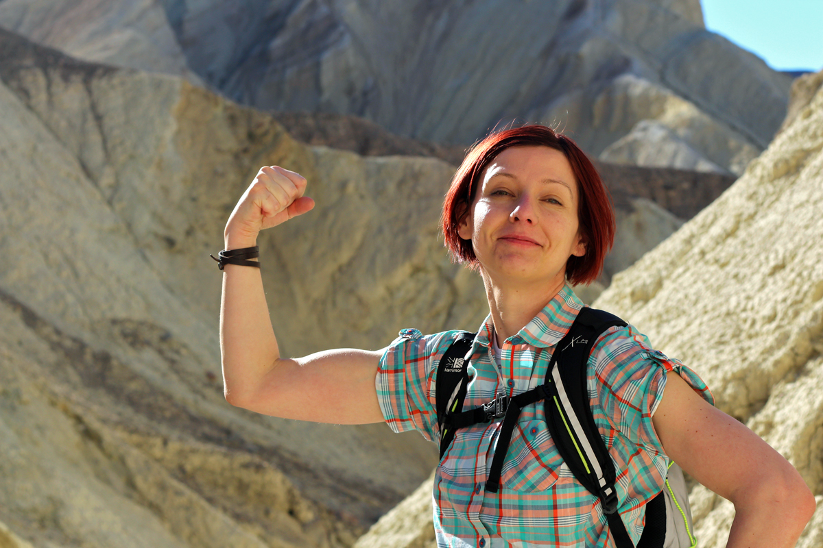
Gina’s bicep
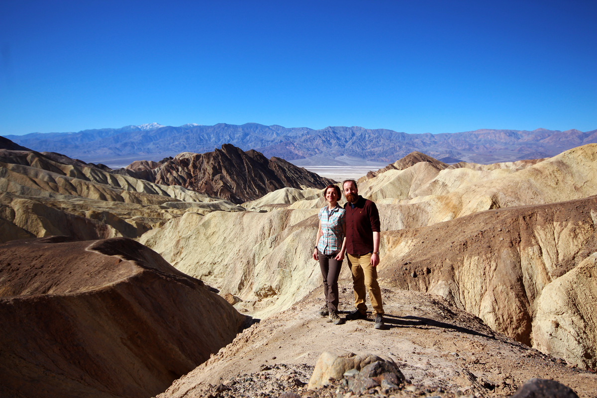
Us overlooking the canyon
Hiking to the highest point
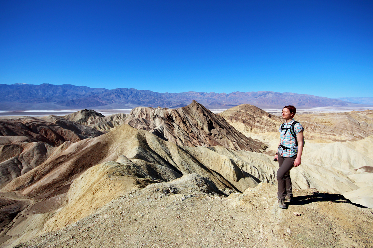
The viewpoint at the top
Afterwards, the top afternoon heat, we went for the Badwater Basin, the lowest point in North America (some 86m below sea level). Top tourist spot but nice salt plains and an unearthly feel to the place.
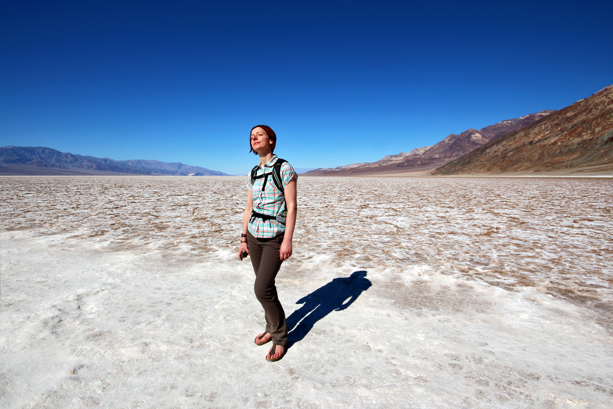
Gina at Badwater Basin

Badwater Basin salt plains
On the way back we swung by a ‘natural bridge’ spot which was not really worth it tbh. Then we went once more to the visitor centre in Furnace Creek, to watch the half hour film on the history and geology of Death Valley, before heading for dinner all the way to Stovepipe Wells. Nice place and a first glimpse of data connection after like three days (since Palm Springs). We got some firewood and beer for the evening, although must be said I retired to my sleeping bag fairly soon, leaving Iest with the fire and all the stars.