29
Oct 11

Wutachschlucht

As Gina has been away for a couple of weeks in Sarajevo, Bosnia with work, we hadn’t been anywhere for a bit. I went with a friend to stay for the night at the Wutachschlucht, and when Gina got back, I showed her the photos I took from our trip, which was a very nice trip – but very misty and steamy weather.  Gina thought it would be fantastic idea (well, in reality I said something along the lines of ‘let’s go somewhere or whatevs’) to head on down there again, as it was a glorious sunny day – she was right (as usual). The valley in the sun was a whole different place, really nice.

Wutachschlucht is a narrow gorge, with about three different sections. It’s believed to be the youngest valley in the whole of Europe, which formed about 10,000 years ago when the Ice retreated. It’s a beautiful place, full of wildlife and vegetation. The route we took was roughly 14km long, that starts from the village of Bonndorf and ends close to Wutach – where we were to catch the tourist bus back to Claude…

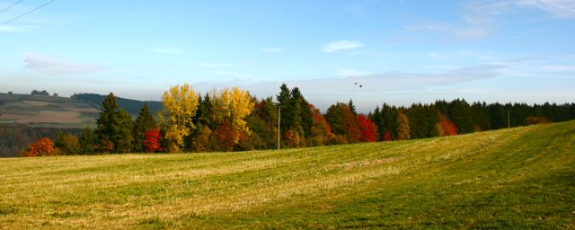
We headed out early, and missed the morning traffic. Driving up the Hollental Valley out of Freiburg is always a pleasant experience, but in the Autumn, the whole Valley shines in epic Autumn colors – something I’ve always wanted to see here in the Black Forest.

Arriving in Bonndorf, we left Claude at the car park, and headed North towards the valley. Gina was armed with my camera, and happily merrily took some photos of the Autumn scenes all around.

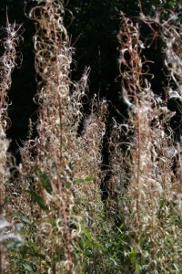
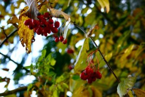
Autumn Berries

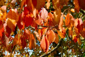
Autumn Leaves

Autumn Colours

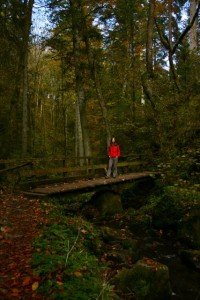
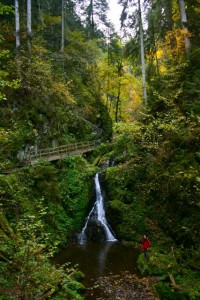
We headed down into the gorge, and began following the stream steadily downhill. It’s a great big deep valley, which gets deeper really quickly, and without knowing it, you get dwarfed by the 100 year old trees that surrounds the gentle stream. There are some nice bridges that cross the river frequently, which makes the trek very ‘tourist friendly’ – which it certainly was on this sunny Autumn day.

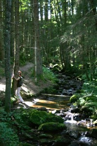
Gina on the bridge

Gina in the stream

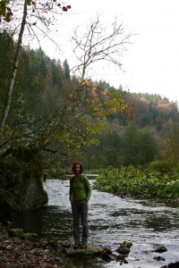
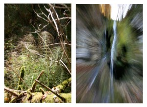
As we continued happily down the stream, the gorge opens up, and the stream joins a huge river, and  you start to see all around. Today, from what I can gather, was Gina’s day of experimenting on new techniques with the camera that she’s recently learned from somewhere. One of the techniques she liked today was what she called ‘Fast Zooms’ :) (never called it that once. I call it ‘motion pictures’)The results are posted below (truth said, a little bit too much motion in the second one. But the first one came out right.):

Gina on the river

Gina Smiles

Gina's "Fast Zoom" Experiments

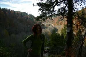
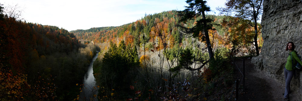
After walking along the wide river peacefully, the path takes a pretty great gain in height, and without knowing it, you suddenly become very high. One particular place, roughly just under half way, offers an amazing view of the river and valley, which I took the opportunity to take a panorama:

Panorama View

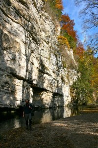
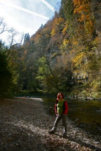
As you can see, the Autumn colors really make the place look amazing. As we continued further, the terrain changes again, this time, the river flows along, and carves into these great big Limestone cliffs. The cliffs themselves looks so strange, as you can clearly see the layers of rock so clearly.

Iestyn Canyon

Gina Canyon

And this is pretty much the end of the tour of the Valley. From here, it was a gentle walk though some trees, and over a few bridges, and along the river. As the tour was winding down, still on her Experimenting high, Gina also took the opportunity to create some lovely macro shots of the vegetation (oi! i’ve had macro under my belt practically before you were born – this was no experimenting! just doing what I do best.).

Gina's Macro Experiment

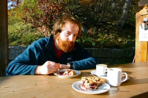
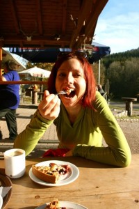
We came out the other end, just by the bus stop where the bus would take us back to Bonndorf, and to Claude. But, with a bit of detective work on the timetable, we figured out that the last bus had indeed left about an hour earlier, so we were faced with an interesting situation – how do we get back to Claude, that was sitting lonely 14km away? To think about it, we headed to the hut at the side of the road to have a delicious, well earned coffee and cake:

Eating Plum Cake

Gina Eating Cake

After filling our bellies, we’d decided that we couldn’t call a taxi to come and pick us up – so the only other option was to try our hand at thumbing. So, we headed back to the bus stop, and using my best thumbing moves, we managed to pull the third car over – which was also heading to Bonndorf – result! Our driver was originally from Bonndorf, so he knows the situation with the bus very well, and because we looked like a cool pair of hikers, he decided to pick us up. He took us all the way to Claude – which was fantastic, as we both really didn’t fancy walking back.
02
Oct 11

Hochfirst

We wanted to get up real early and go for a long hike but of course that idea didn’t go down so well with people who wanted to have a ‘proper Sunday lie-in’ cause they never get to sleep in, so there we were, stuck in a traffic jam quarter to noon on the road to the Höllental valley. Oh well, it cleared up quickly, and the drive through the valley was pretty as ever.

We arrived in Saig, and despite Henry trying hard, we couldn’t find parking in the village. Eventually, we just left Claude in a little clearance by the forest behind the village, hoping noone would tow him away. But the village seemed pretty sleepy and quiet, so we didn’t really think anyone would bother. Of course, once we started walking, we found the parking place in Saig all ready.

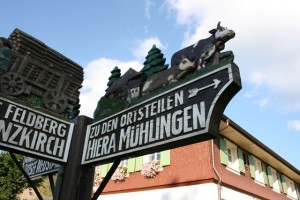
Saig is a very small and traditional schwarzwald village, couldn’t be more stereotypical if it tried.

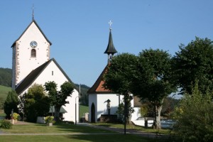
Saig church

Saig pointers

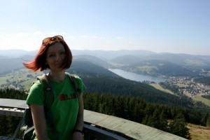
From Saig we took the steep hill up to Hochfirst. From there we had a beautiful view down on the Titisee area.

Hochfirst view

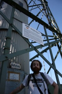
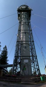
But that was not enough for us, we decided to go up the watchtower as well! The watchtower looked like a mobile transmitter or something like that but had a nice double winding staircase inside, and a platform up on top with legend for identifying mountains and hills around. Unfortunately, the horizon was quite hazy, so we could not see the Alps. We did have a nice chat with a German dude, who started talking about the tower falling over as soon as he heard from Iest that he does not enjoy heights.

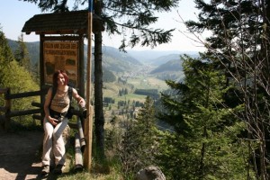
Iest by the tower

Hochfirst tower

Gina Tower

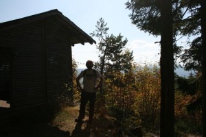
When we had enough of disaster scenarios we decided to go on with our trail, which led us along the Beerwaldhauptweg. This was all through the forest, which Iest found nice, since they don’t have forests where he comes from, I found it a bit boring, although quite bearably. We also found one nice hut with an autumn view and forgotten digital camera on the inside (curiously, with some antipodean pictures on it), we left it there.

Beerwaldhauptweg

Autumny hut

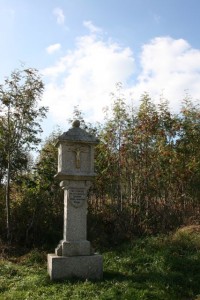
We were looking forward to seeing the Francosenkreutz commemorating the fallen in a battle between the French and the Austrians in the aftermath of the French Revolution in 1799, but we were kind of disappointed.

Franzosenkreuz

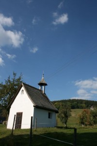
However, the village Kappel was really nice with beautiful old farmhouses and spunky cows.

Kappel chapel

Kappel

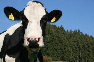
Kappel cow

We were happy to find Claude where we left him, waiting for us all good. And we headed home after a nice little walk, looking forward to our yum cake, also waiting where we left him.


10
Sep 11

Hinterwaldkopf

Glorious sunshine in the morning, so we decided for a trip with sky-high altitude for spectacular views. We also asked our friend Hendrik, who joined us for the hike for some added fun.

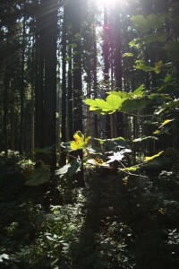
We left Claude in Himmelreich village by the train station, put lots of sunscreen on, and wandered off into the jungly thick greenery of the Black Forest. Soon the trail was pretty steep, and we were happy to be in the shade of the forest, as the sun was doing its job pretty heavily.

Himmelreich greenery

Himelreich forest

Himelreich forest

Finally we emerged from the forest, and found ourselves near the Höfener Hütte with a beautiful view across the valley.

Panorama

What a place for a beer! Well, in reality we got ourselves Apfelsaftschorle, all organic and bio and from apples of the region, sweet and tasty. Also a cheesecake, which was yum!

Hofener Hutte

From the hut it was still a little bit to go to the very top of Hinterwaldkopf. Since it was a sunny Sunday, and we had a late start as always, not to mention the recharging stop at the hut, the top was pretty crowded, complete with a bunch of screaming kids and all that. So we tried to enjoy the views for a little bit but didn’t spend too long, and set out on our way down, on the other side of the hill.

Hinterwaldkopf

Hinterwaldkopf

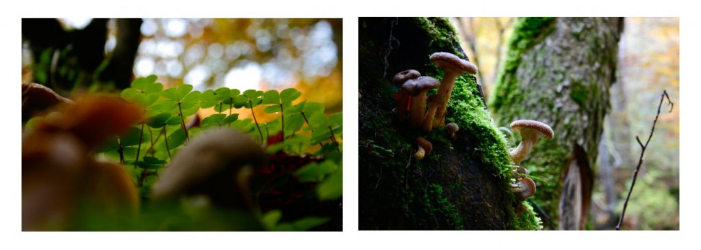
Before we immersed ourselves into the forest on the other side again, we got a good close look at some endemic fauna and flora in the sun.

Fauna

Flora

By the time we got out of the woods down in Hinterzarten, we were pretty tired from the long and steep downhill. We managed to see some very nice waterfalls and hug some trees for energy, but the most energy we eventually got was from the ice-cream in Hiterzarten. This made us miss the train back to Himmelreich by just a minute (we saw it!) because some people (me) cannot eat their ice-cream as fast as other people (Iestyn and Hendrik for example). But it was ok, because the train goes every half hour.

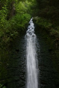
Wasserfall

Gina hug

Hinterzarten station


24
Apr 11

Aha – Todtnau, Black Forest Walk

Day 1. Aha – Feldberg (Red line on Map below)

Over the Easter weekend, we did our first epic hike of the Black Forest. We caught the train from Freiburg to a little village called Aha, on the shores of Schluchsee lake, South East of Freiburg. It was a really pleasant trip on the train, enjoying the scenery, and looking at the locals eating sweets.

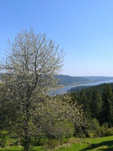
After a quick lunch on the lake, we headed West, around the Northern shore of the lake, and into the Wilderness of the forest. After ascending for a bit, we were rewarded with a beautiful view of the Schluchsee, and that lovely feeling of Spring, as the trees were starting to bloom.

Schluchsee

Break at Rosshutte

After gaining some height, we stopped at the Rosshutte for a quick break, to read the map, and get some water from a wee spring that was situated behind it. From reading the map, we decided to take a lovely walk up to the highest peak in the area, seeing as it was a viewpoint. This peak was called Zweiseenblick [and as the German enthusiasts among us know, this actually means two-lake-view]. After a joyous walk, we reached Zweiseenblick. It was quite full, it was almost a Tourist Highway, as there was a good group of people at the top, enjoying the views of the Black Forest. We decided not to stay long, and make our way towards Feldberg.

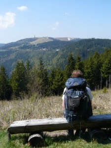
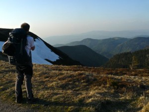
Me looking towards Feldberg

Gina, her Deltoid and the Menzenschwand Valley

Along the way, there plenty of photo opportunities. We saw Feldberg (1,493m) with it’s towers, (which was our destination on day one), and the beautiful Menzenschwand Valley, where Gina showed me how strong she is, (On the photo above, check out her Deltoid!! She’s not even flexing!!) where we can see the town of Hinterdorf – plus a description of how this glacial valley came to be. All in German though.

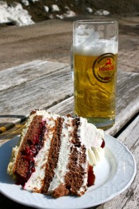
We made speed, and headed towards Feldbergernof, which is a small, odd place. It’s geared towards the skiers, and snowboarders in Winter, as the slopes of Feldberg above is perfect for beginners for skiing – but as the snow was just about, all gone – it was full of tourists, who was there to enjoy the views. We headed to the cafe, and I got myself my First Black Forest Gateaux since my arrival here. It was very good, and washed down with some beer.

Gateaux a Beer

We headed up to the summit of Feldberg, the highest summit in the Black Forest. Here, on a good clear day, you can see the whole of Alps, and able to make out the Eiger, Jungfrau and even Mt. Blanc. Unfortunately for us the haze was in, so we couldn’t see beyond the Black Forest – but it was still very nice. There was still a bit of snow nested in the shadows of the sun, hidden within folds of the mountain, but the views of the Black Forest were beautiful.

Feldberg Summit (1.493m)

Black Forest

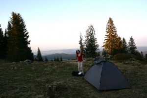
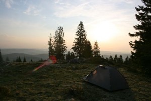
We decided to pitch our tent just off the summit, overlooking the Feldsee lake. A pretty wee circular lake, nested right at the bottom of 300m cliffs, to the East of the summit. According to legend, there’s a ghost that spooks the lake, shouting to hikers “Hey, you! You’re going the wrong way! If you want to go to Feldberg, you must take the different path!” If you look at him then, the spell is broken. No-one knows however, if this rewards the spirit and set him free. For dinner that evening I had some noodles and mushroom sauce, and Gina didn’t eat any, she just went to sleep after all day fun in the sun. Gina fell asleep quite fast, but i played around on the top, looking at the stars, and taking some photographs. As I headed into bed, I realised that I’d forgotten my sleeping mat at home. Luckily for me, it wasn’t very cold that evening, and I managed to sleep ok.
Gina at the Camp

Morning at Camp

Day 2 Feldberg – Todtnau (Blue Line on Map below)

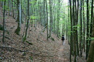
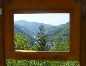
We woke up super early, and made our way back up towards the summit of Feldberg. There wasn’t a soul around, and we were in for another beautiful, hot day. The trek was mostly contouring around Stubenwassen, making our gentle downhill approach to the village of Todtnau. It was a good mornings hike, through very pretty forest, and some un maintained trails, resulting in us taking the wrong path, I was pretty certain there was a Map Black Hole at the point, as nowhere made any sense on the map. Anyhoo – we managed to get back on track, and found a nice picture frame, sitting nicely above Todtnau.

Pretty Forest

Todtnau

Pretty much all the way on this second day, only one thing was on Gina’s mind – Twister Ice cream. So after arriving (after what seemed like an endless downhill from the picture frame), we came to the sleepy Village of Todtnau, where there was a nice market going, which felt really nice. We had some ice creams, (they didn’t have Twister unfortunately) and figured out how to make it back to Freiburg via a bus that was going directly there in an hour or so.

Pub in Todtnau

Ice cream, Gina & Church

It was a lovely trip, and a great first proper hike in the Black Forest. It’s such a beautiful part of the World.

Here’s our route marked out on Google Maps. If you can’t view it – please let me know.


View Black Forest Walks in a larger map