As Gina has recently moved to London (!!), it’s now going to be a lot easier for us to head to Wales when we feel like it. This is pretty much exactly what we did over the weekend. I took the late ferry from Dublin, and Gina caught the train up from London – and we’d be meeting in Holyhead around midnight. Perfect!
The train ride, and boat trip went without any hitches, and we met bang on time in Holyhead, where dad picked us up and took us home to Groeslon.
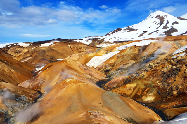
We got up super early, and after some hearty breakfast and catch-up with Mum and Dad, we decided to head up to the Welsh mountains – the Carneddau. The weather wasn’t particularly favourable – from down in the Ogwen Valley we couldn’t see the tops of the Carneddau, but we decided to head up anyhow, to stretch our legs, and because we’re cŵl like that.
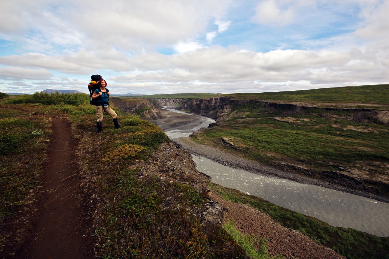
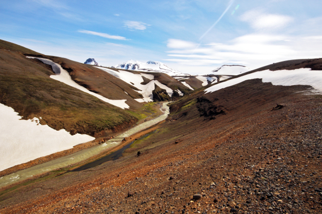
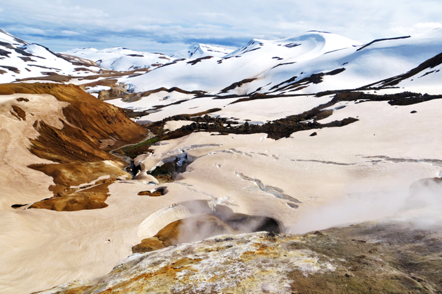
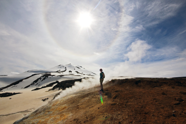
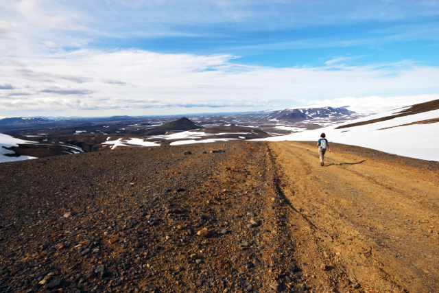
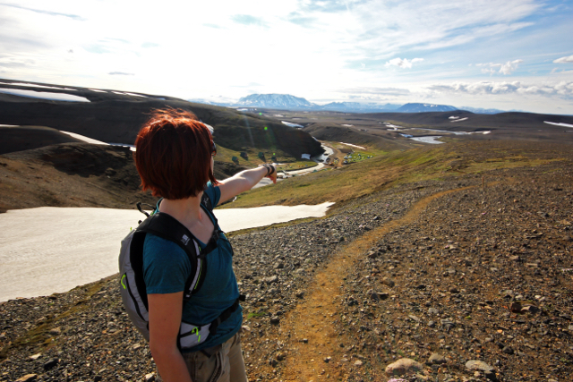
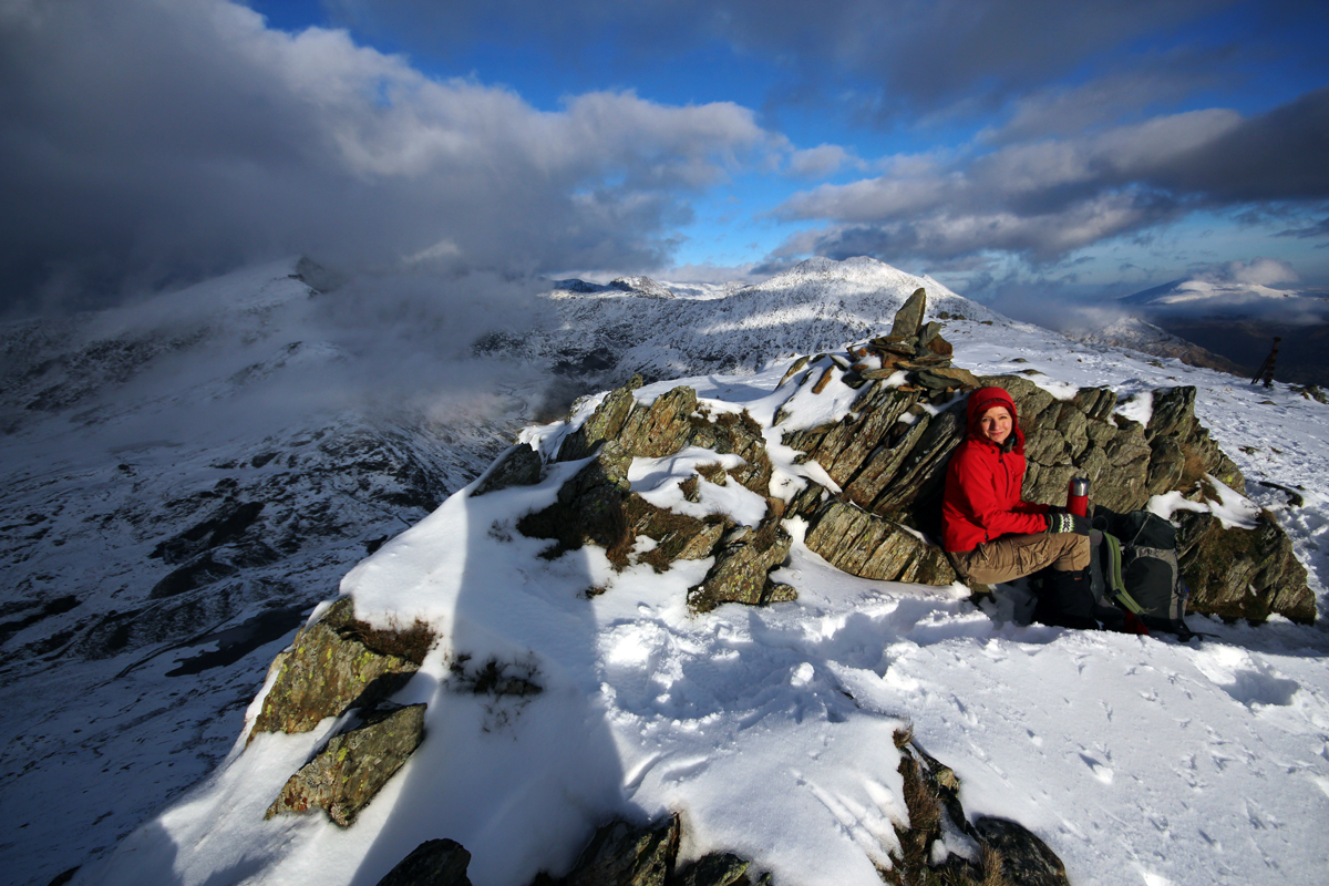
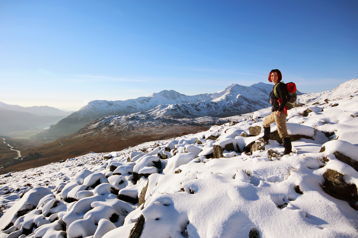
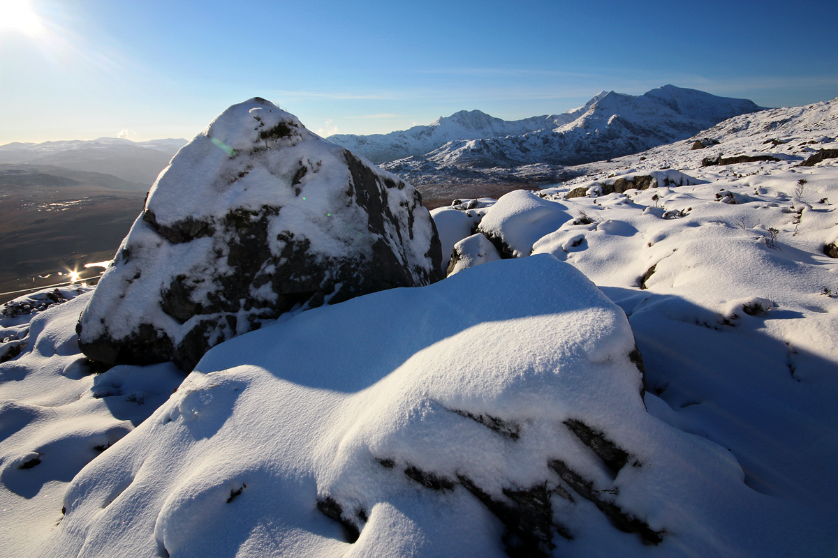
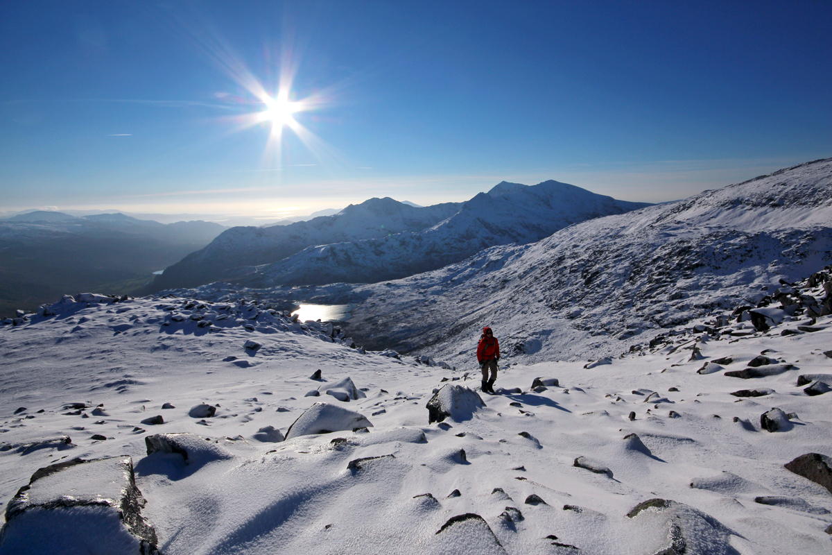
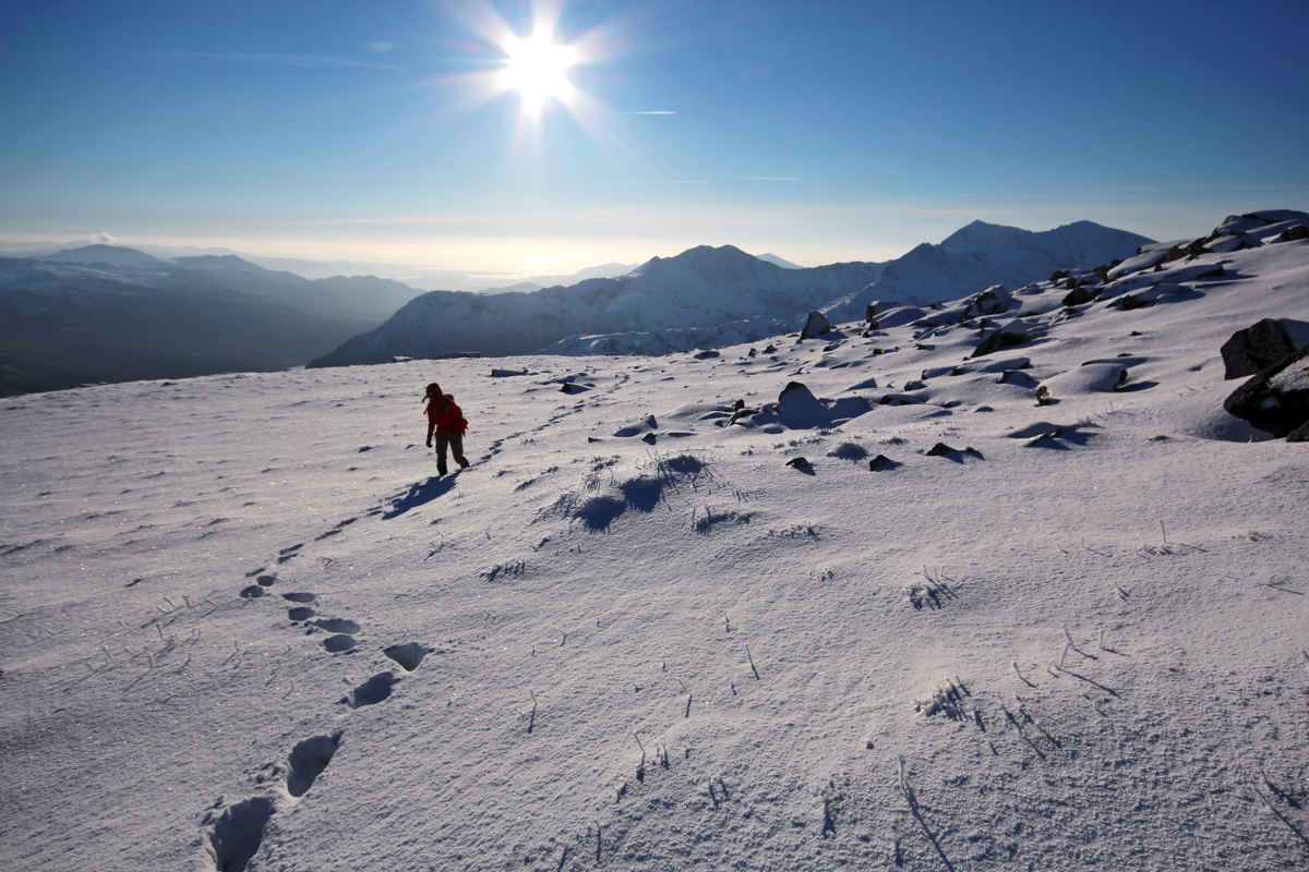
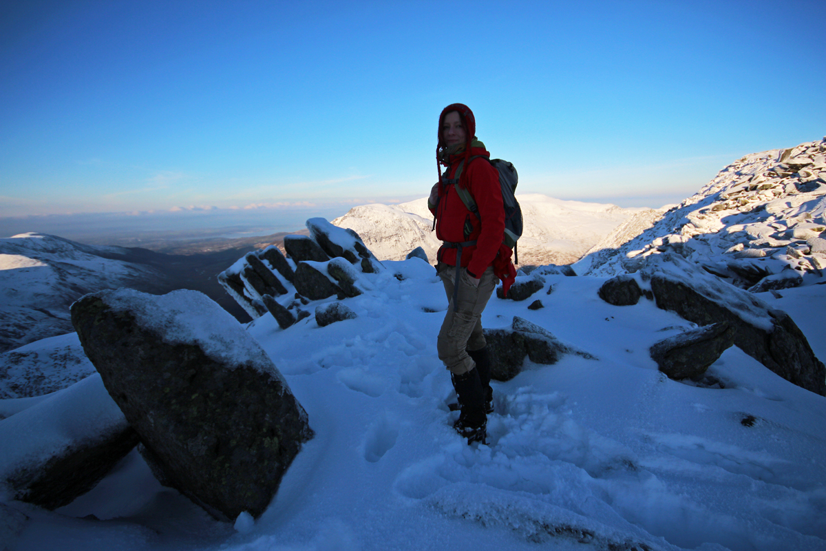
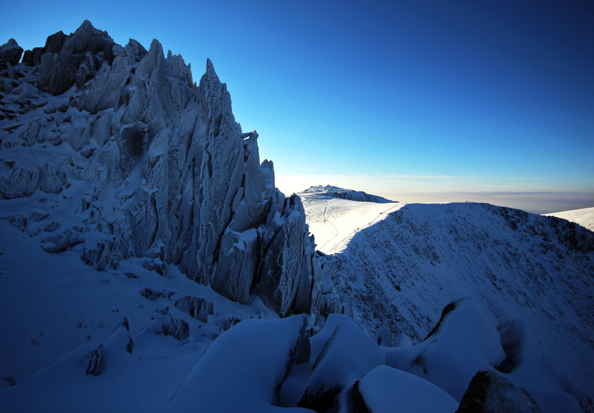
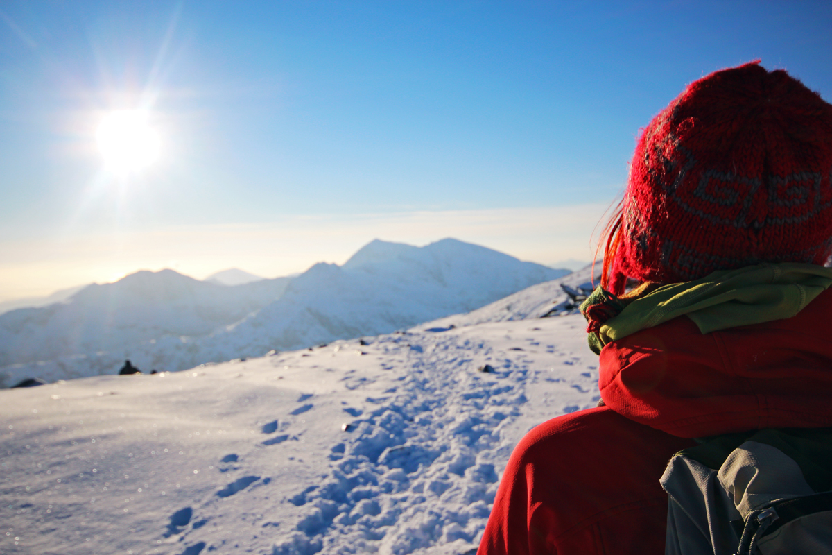
We started from Llyn Ogwen, and belted up the steep slopes of Pen yr Ole Wen. The fog was thick from around the 600m mark, so just before heading in, we took a few snaps, as I had borrowed a friends Wide-angle lens for the weekend.
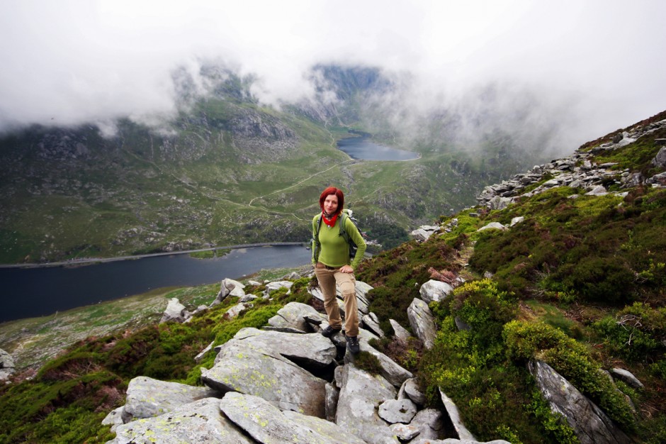
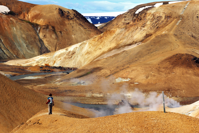
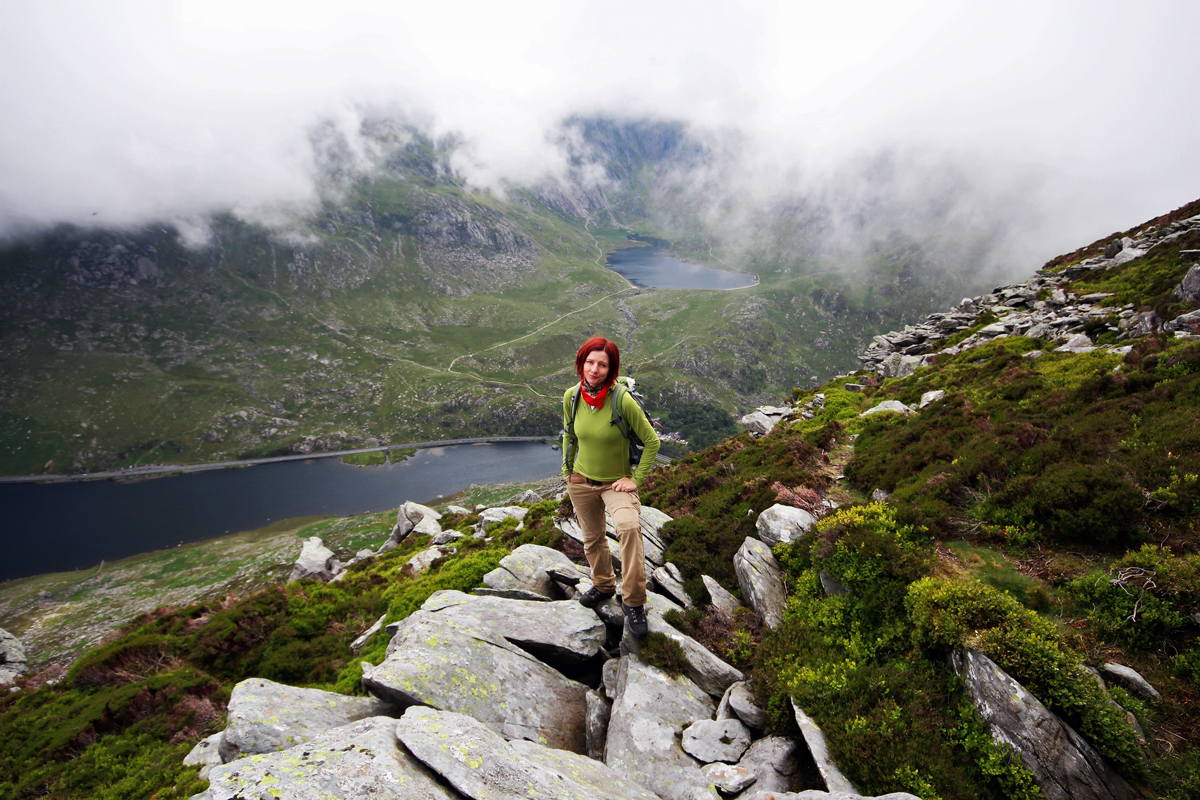
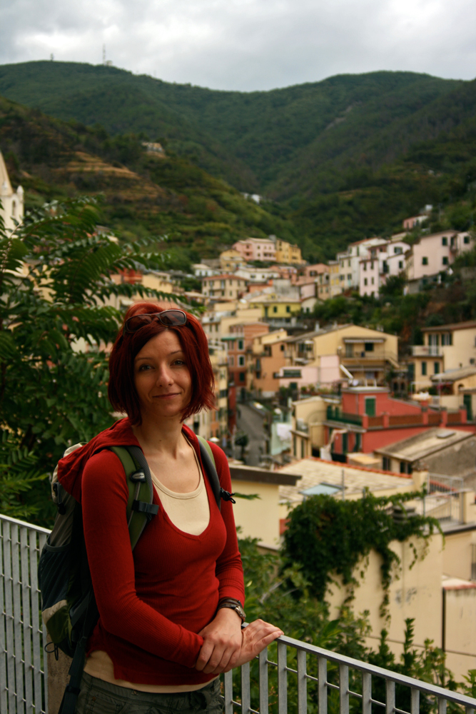
Gina & Cwm Idwal
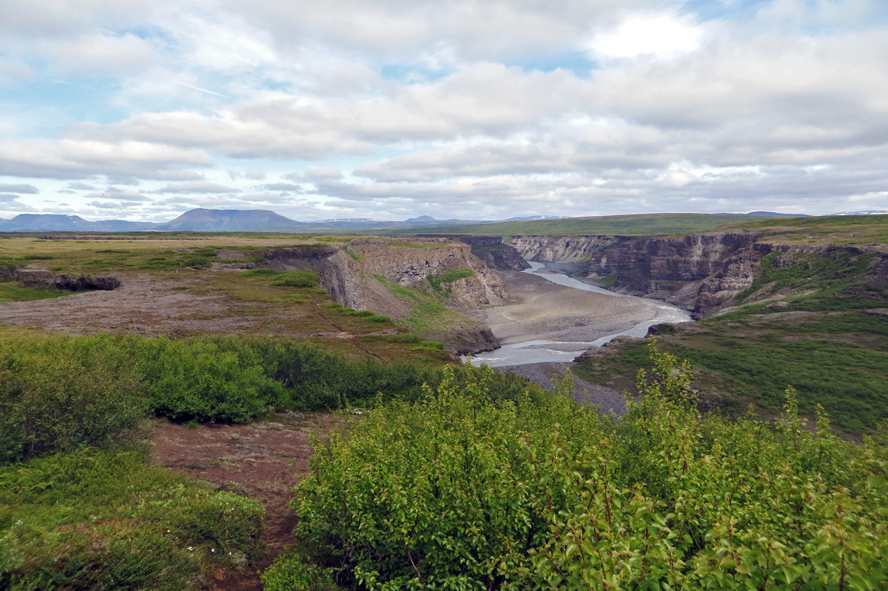
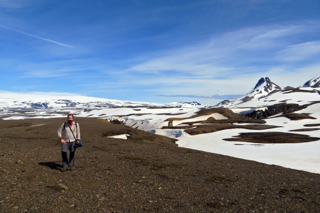
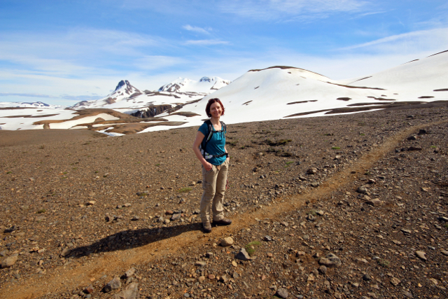
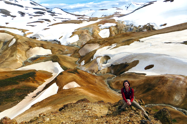
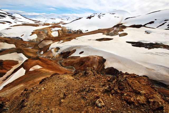
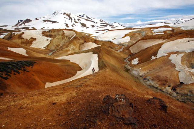
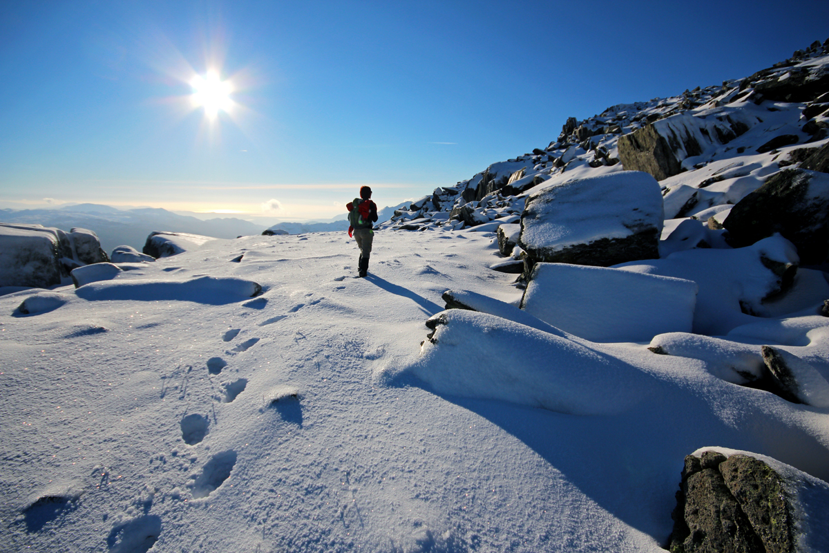
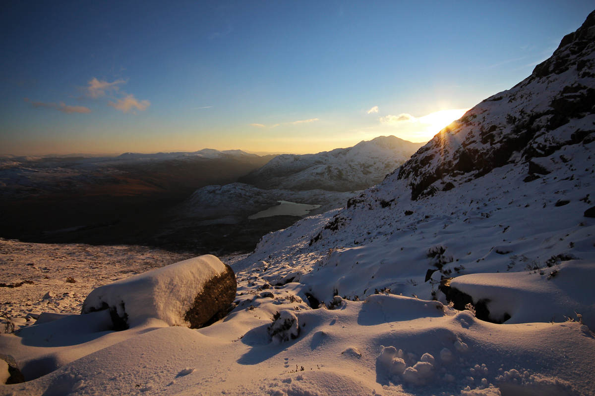
What followed was a really refreshing 5 – 6 hour walk into the thick cloud, from Pen yr Ole Wen (978m), across and up to Carnedd Dafydd (1044m) across the ridge to Carnedd Llewelyn, a wee bit of scrambling before heading up to Pen yr Helgi Ddu, and then descending the road-path that leads from Ffynnon Llugwy down to the car. There was a few people up on the hills, as there was a ‘Vegan 10km’ race on – but me and Gina marched onwards, enjoying being out together in the hills.
Directly afterwards, we headed to one of our favourite eating places (especially after a big hike): Pete’s Eat. We had the usual Veggie Grill, with a massive mug of tea, and hot chocolate for me.
On the drive home on Saturday, I noticed that we might be in for a fantastic sunset, as the clouds were breaking up just above the horizon, so after quickly changing from our wet-hiking clothes, we dashed on down to Dinas Dinlle to catch the epic, fantastic pink sunset, which gave me an opportunity to play with another borrowed lens, a 60mm Macro lens which I’ve fallen in love with, while Gina took epic snaps with my iPhone for Instagram (something we’ve both adopted very well):
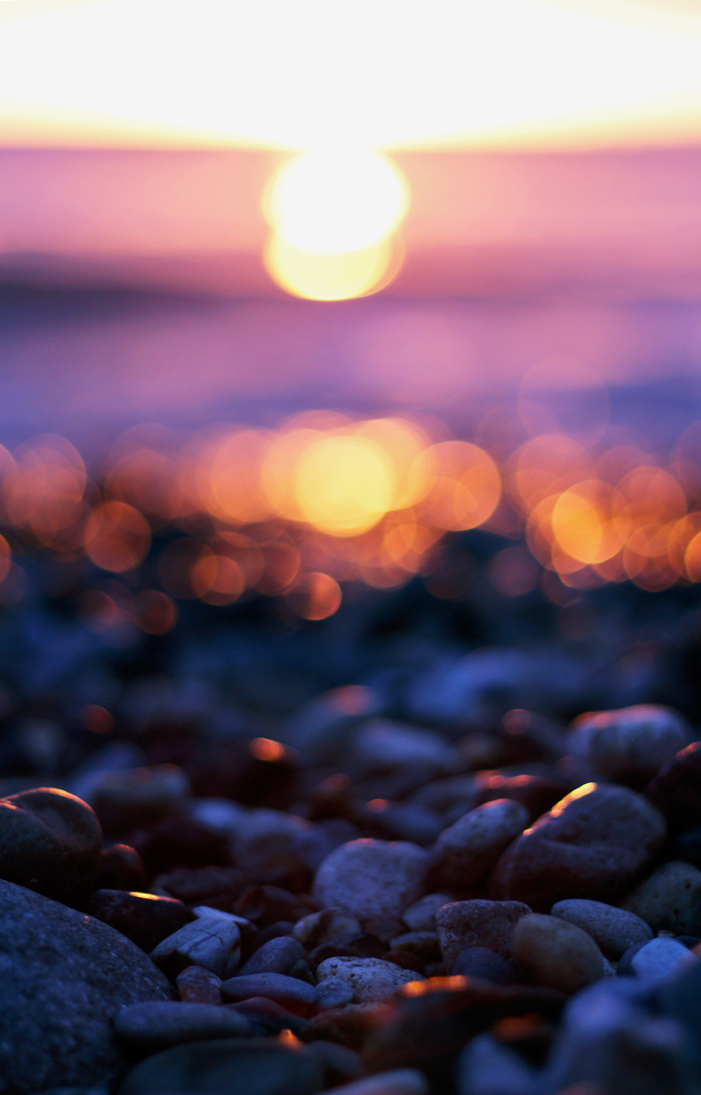
60mm Pebble shot
And that was it for Saturday night! We were both blasted by the day’s hard work, so we had an early night.
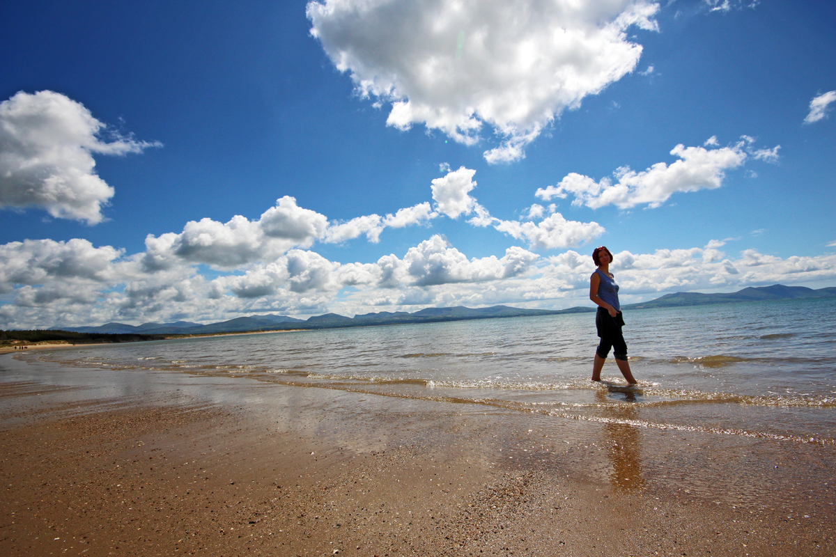
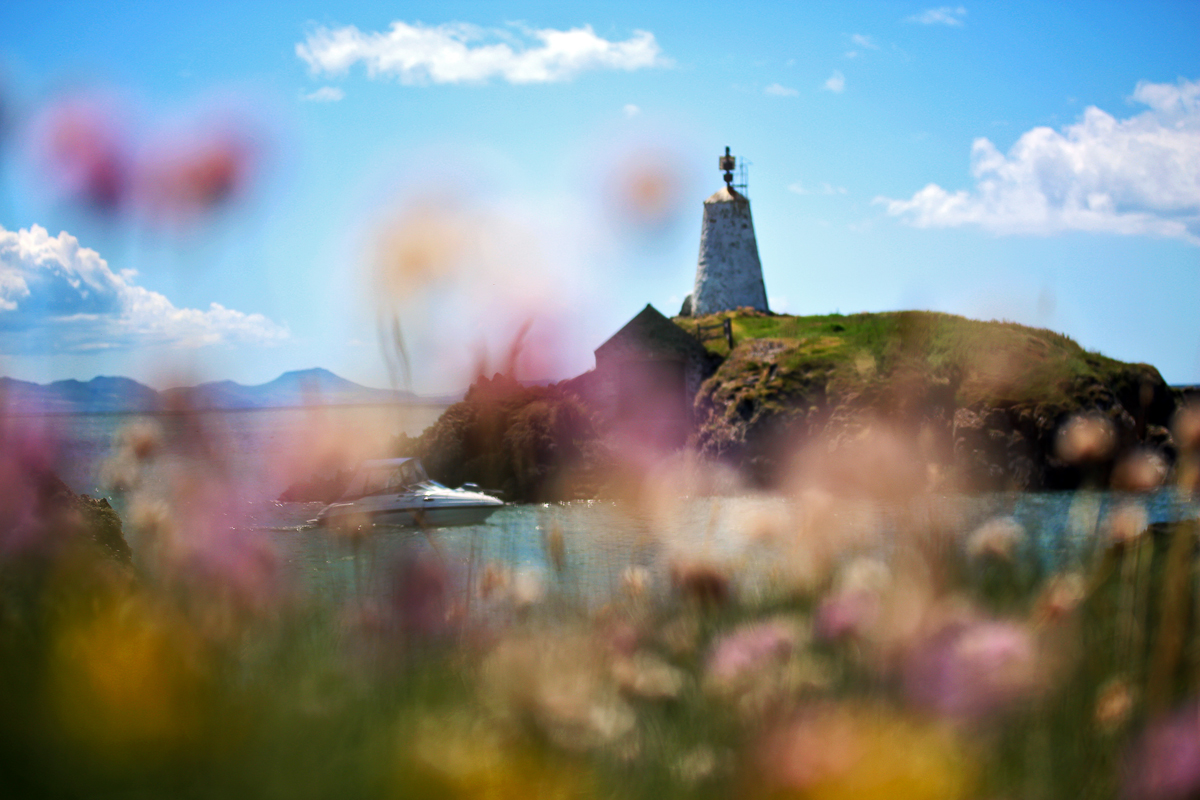
Sunday bought with it, much better weather, so after another super early start and hearty breakfast, we decided to go to Gina’s fave place in Wales: Ynys Llanddwyn, and as it was a super nice and sunny day – this was a great idea!
We jetted over in the van, blasting some sweet music from my younger days, to a fairly looking, busy Llanddwyn. Armed with an ice cream (and a chat with the ice cream vendor about my family – Wales is a small place) we made our way towards the island and lighthouse. Thankfully, the tourists were all crowded along the main entrance to the beach, once we past the first 100m walk, the tourists were no where to be seen, which was great.
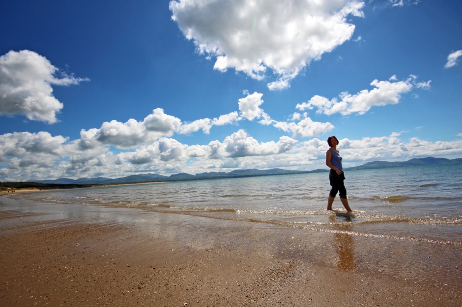
Wide angled Gina, gallivanting
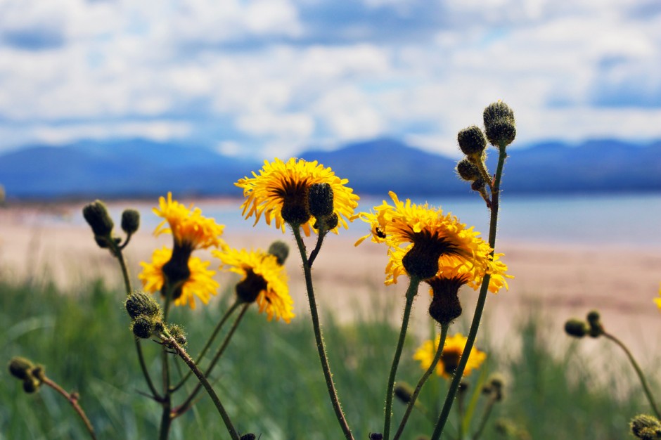
60mm flowers, sea and mountains
We made our way over and across towards the lighthouse, where we sat and chilled, and enjoyed the sun together. I (probably) burned my face because of the sun, but it was nice to be by the fresh sea, relaxing with Gins.
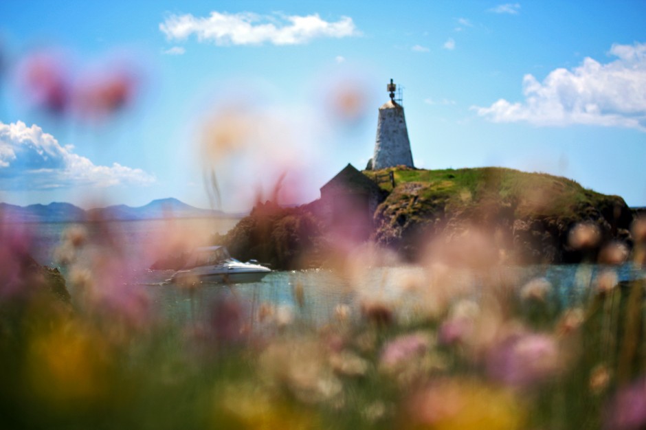
Macro Ynys Llanddwyn
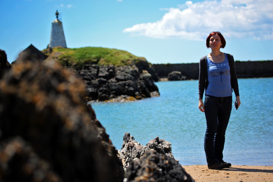
Gins.
From Llanddwyn, we decided to head on over to Rhosneigr for a spot of lunch. Our main priority was pancakes (clown ones!), but the wee cafe was closed, so we decided to have some proper seafood – Gina went wild and had some lovely Rhosneigr Mussels, while I had traditional Fish ‘n chips – with mushy peas! It was fantastic.
And that was it, our short weekend had come to and end – we had to head back to Groeslon to pick up our bags, and catch our trains and ferry, back to London and Dublin.