Day 1. Aha – Feldberg (Red line on Map below)
Over the Easter weekend, we did our first epic hike of the Black Forest. We caught the train from Freiburg to a little village called Aha, on the shores of Schluchsee lake, South East of Freiburg. It was a really pleasant trip on the train, enjoying the scenery, and looking at the locals eating sweets.
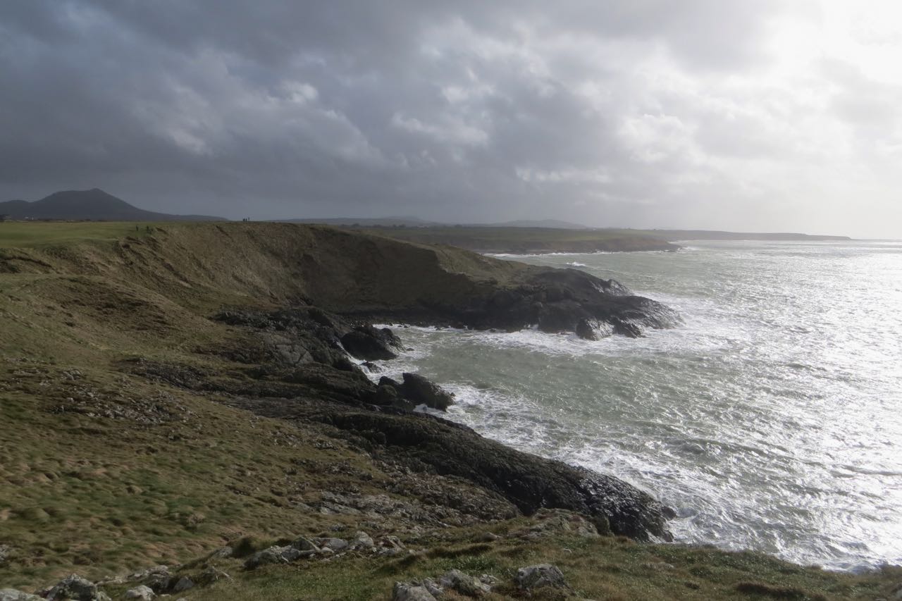
After a quick lunch on the lake, we headed West, around the Northern shore of the lake, and into the Wilderness of the forest. After ascending for a bit, we were rewarded with a beautiful view of the Schluchsee, and that lovely feeling of Spring, as the trees were starting to bloom.

Schluchsee

Break at Rosshutte
After gaining some height, we stopped at the Rosshutte for a quick break, to read the map, and get some water from a wee spring that was situated behind it. From reading the map, we decided to take a lovely walk up to the highest peak in the area, seeing as it was a viewpoint. This peak was called Zweiseenblick [and as the German enthusiasts among us know, this actually means two-lake-view]. After a joyous walk, we reached Zweiseenblick. It was quite full, it was almost a Tourist Highway, as there was a good group of people at the top, enjoying the views of the Black Forest. We decided not to stay long, and make our way towards Feldberg.

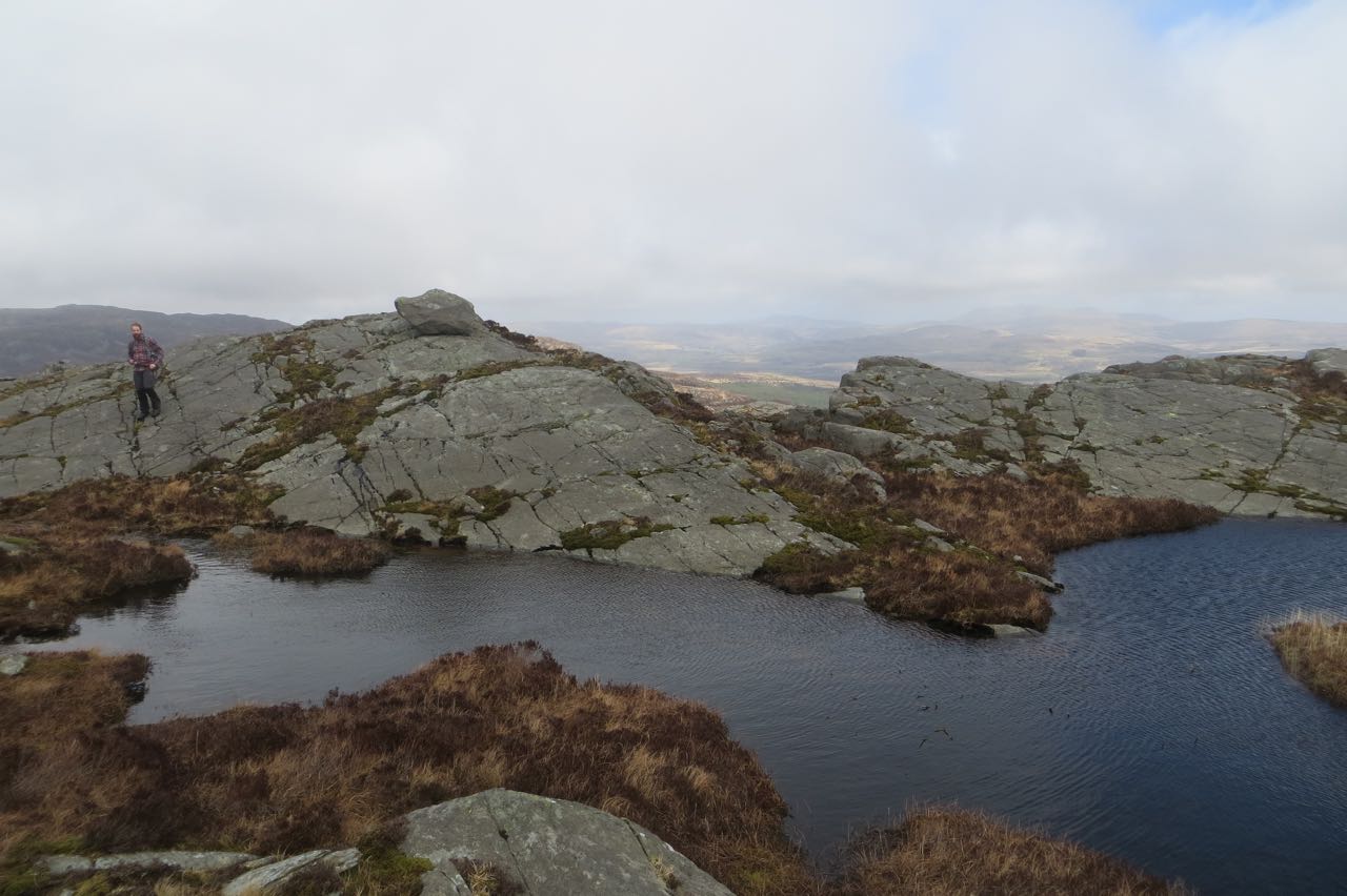
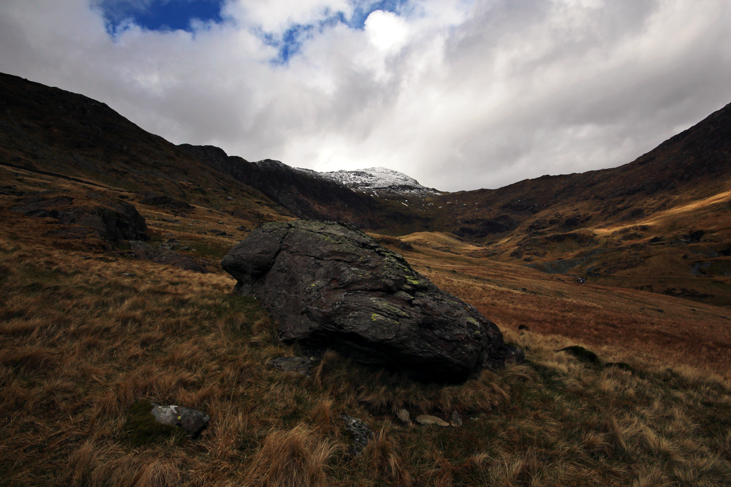
Me looking towards Feldberg

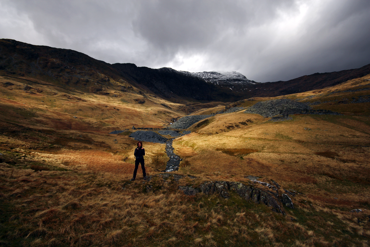
Gina, her Deltoid and the Menzenschwand Valley
Along the way, there plenty of photo opportunities. We saw Feldberg (1,493m) with it’s towers, (which was our destination on day one), and the beautiful Menzenschwand Valley, where Gina showed me how strong she is, (On the photo above, check out her Deltoid!! She’s not even flexing!!) where we can see the town of Hinterdorf – plus a description of how this glacial valley came to be. All in German though.
We made speed, and headed towards Feldbergernof, which is a small, odd place. It’s geared towards the skiers, and snowboarders in Winter, as the slopes of Feldberg above is perfect for beginners for skiing – but as the snow was just about, all gone – it was full of tourists, who was there to enjoy the views. We headed to the cafe, and I got myself my First Black Forest Gateaux since my arrival here. It was very good, and washed down with some beer.

Gateaux a Beer
We headed up to the summit of Feldberg, the highest summit in the Black Forest. Here, on a good clear day, you can see the whole of Alps, and able to make out the Eiger, Jungfrau and even Mt. Blanc. Unfortunately for us the haze was in, so we couldn’t see beyond the Black Forest – but it was still very nice. There was still a bit of snow nested in the shadows of the sun, hidden within folds of the mountain, but the views of the Black Forest were beautiful.

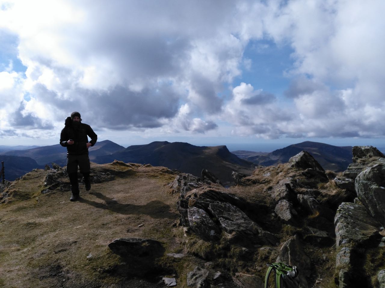
Feldberg Summit (1.493m)

Black Forest
We decided to pitch our tent just off the summit, overlooking the Feldsee lake. A pretty wee circular lake, nested right at the bottom of 300m cliffs, to the East of the summit. According to legend, there’s a ghost that spooks the lake, shouting to hikers “Hey, you! You’re going the wrong way! If you want to go to Feldberg, you must take the different path!” If you look at him then, the spell is broken. No-one knows however, if this rewards the spirit and set him free. For dinner that evening I had some noodles and mushroom sauce, and Gina didn’t eat any, she just went to sleep after all day fun in the sun. Gina fell asleep quite fast, but i played around on the top, looking at the stars, and taking some photographs. As I headed into bed, I realised that I’d forgotten my sleeping mat at home. Luckily for me, it wasn’t very cold that evening, and I managed to sleep ok.

Gina at the Camp

Morning at Camp
Day 2 Feldberg – Todtnau (Blue Line on Map below)
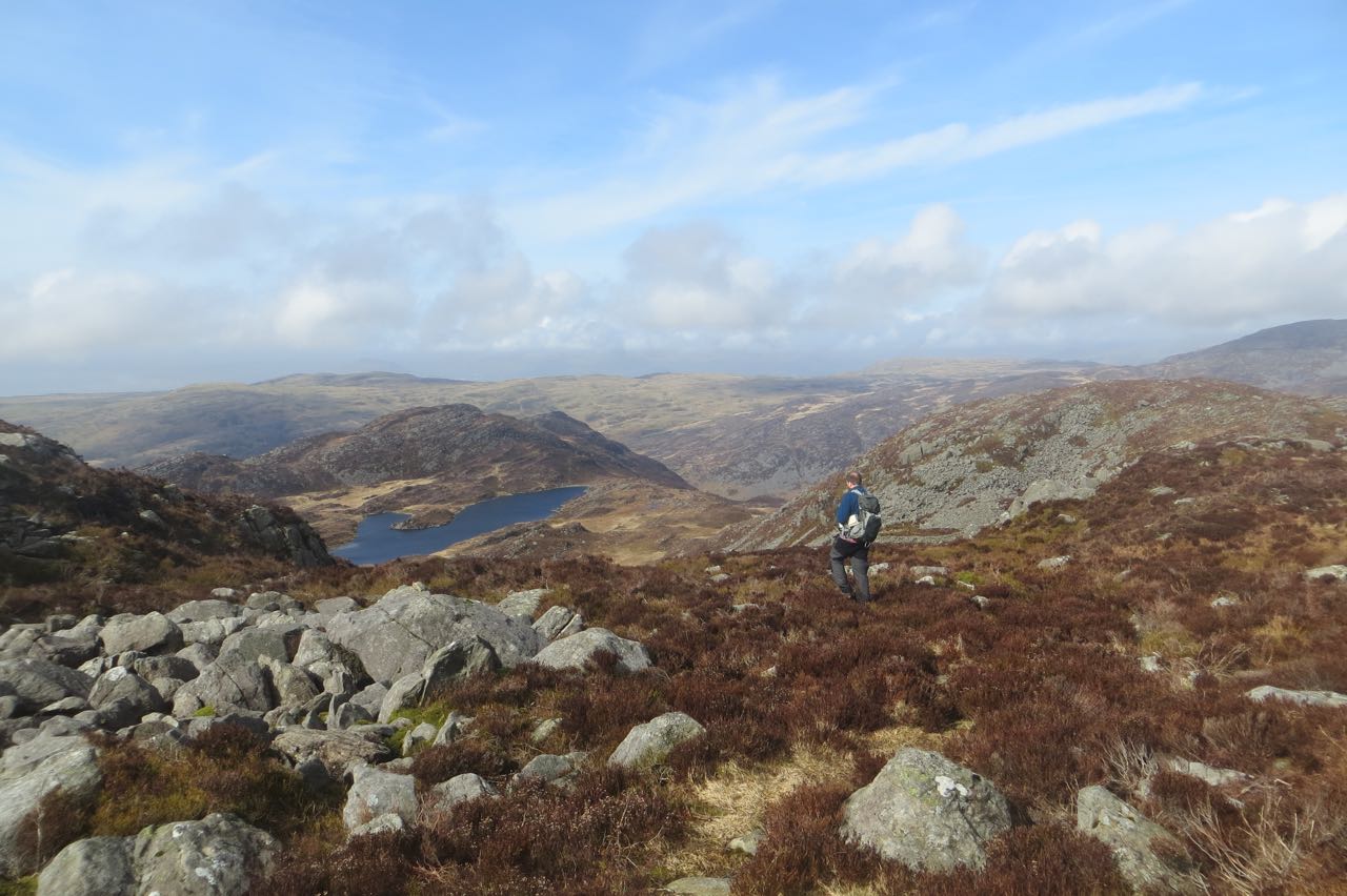
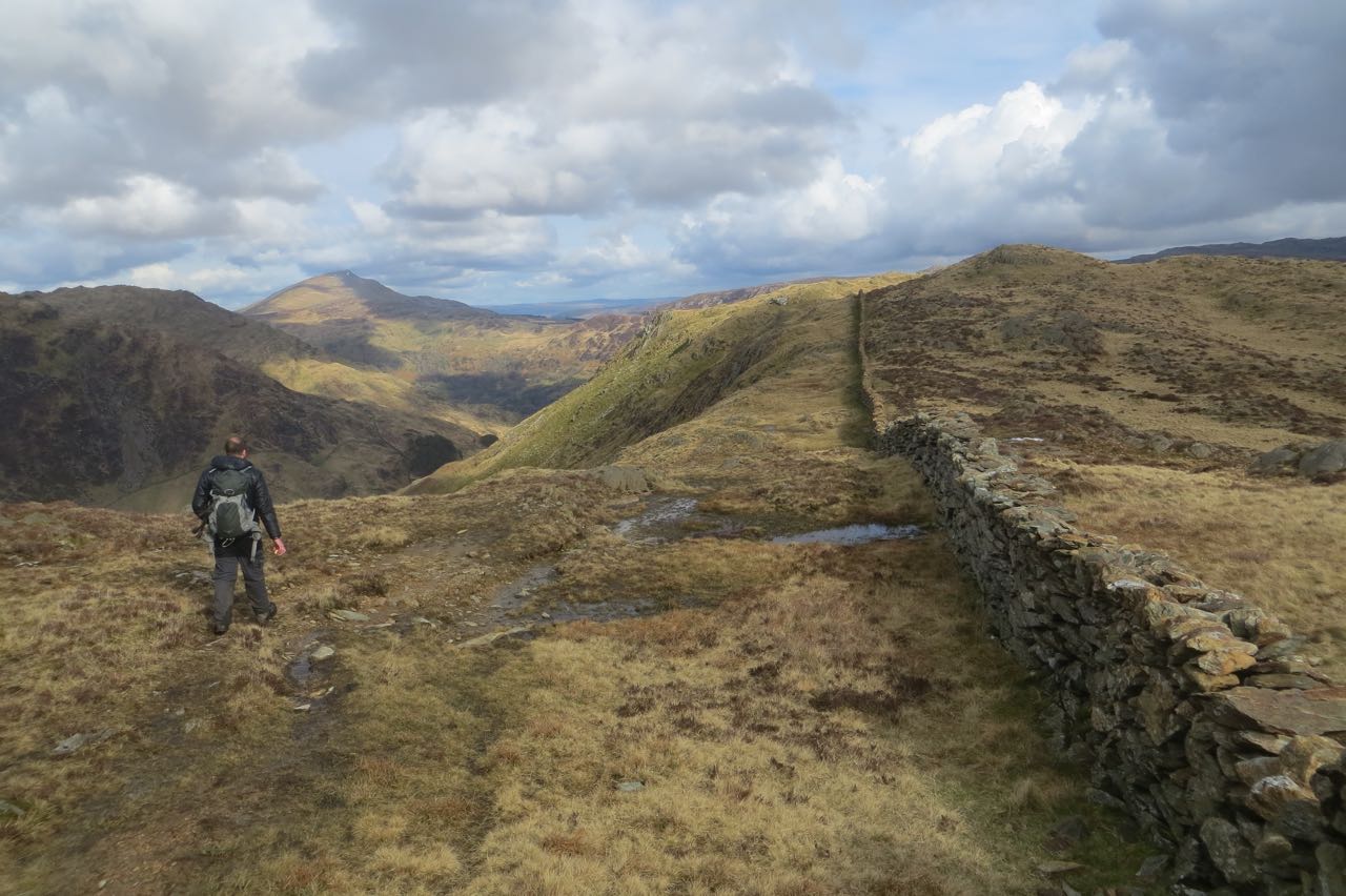
We woke up super early, and made our way back up towards the summit of Feldberg. There wasn’t a soul around, and we were in for another beautiful, hot day. The trek was mostly contouring around Stubenwassen, making our gentle downhill approach to the village of Todtnau. It was a good mornings hike, through very pretty forest, and some un maintained trails, resulting in us taking the wrong path, I was pretty certain there was a Map Black Hole at the point, as nowhere made any sense on the map. Anyhoo – we managed to get back on track, and found a nice picture frame, sitting nicely above Todtnau.

Pretty Forest

Todtnau
Pretty much all the way on this second day, only one thing was on Gina’s mind – Twister Ice cream. So after arriving (after what seemed like an endless downhill from the picture frame), we came to the sleepy Village of Todtnau, where there was a nice market going, which felt really nice. We had some ice creams, (they didn’t have Twister unfortunately) and figured out how to make it back to Freiburg via a bus that was going directly there in an hour or so.

Pub in Todtnau

Ice cream, Gina & Church
It was a lovely trip, and a great first proper hike in the Black Forest. It’s such a beautiful part of the World.
Here’s our route marked out on Google Maps. If you can’t view it – please let me know.
View Black Forest Walks in a larger map